Garmin eTrex SE Review (2026): Long-Life Backup GPS
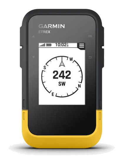
A look at the Garmin eTrex SE: a rugged, button-operated handheld GPS on swappable AA batteries, with the trade-offs of a monochrome screen and a cities-only basemap.
Research-based · We earn from qualifying purchases
Our verdict
The eTrex SE suits hikers, backpackers and geocachers who want a rugged, long-lasting GPS with swappable batteries as a primary or backup device. Skip it if you want detailed color topo maps on the device or a polished, phone-free experience.
The good
- Up to 168 hours on two swappable AA batteries; 1,800 in expedition mode
- Multi-GNSS tracking helps hold fixes under tree cover and in canyons
- Transflective screen stays readable in bright sunlight
- IPX7 water-resistant body with buttons that work with gloves or when wet
- TracBack and point-to-point navigation help you retrace your route
+2 more
- IPX7 water-resistant body with buttons that work with gloves or when wet
- TracBack and point-to-point navigation help you retrace your route
The bad
- Monochrome 240 x 320 screen is low-resolution
- Basemap shows cities only, with no preloaded topo maps
- Many features depend on a smartphone and the Garmin Explore app
- AA batteries are not included, and menus take some learning
+1 more
- AA batteries are not included, and menus take some learning
This Garmin eTrex SE review looks at a handheld GPS that takes a deliberately old-school approach: physical buttons, a monochrome transflective screen and two AA batteries you can swap in the field. It sits in the mid-range part of the market. It is aimed at hikers, backpackers and geocachers who want a dedicated navigation device that keeps working when a phone battery would not.
This review is based on manufacturer specs and on what independent experts report, not on our own hands-on testing.
Garmin eTrex SE: specs at a glance
From the manufacturer- Weight
- 5.5 oz (156.5 g) with batteries
- Basemap
- Yes (cities only)
- Courses
- 50
- Display
- 2.2" transflective, monochrome
- Wireless
- Bluetooth
- Interface
- USB-C
- Activities
- 200
- Dimensions
- 2.4" x 4.0" x 1.3" (6.1 x 10.0 x 3.3 cm)
- Battery type
- 2 AA batteries (not included)
- Water rating
- IPX7
- Memory/History
- 28 MB
- Satellite systems
- GPS, GLONASS, Galileo, BeiDou, QZSS
- Display resolution
- 240 x 320 pixels
- Waypoints/locations
- 1,000
- Battery life (standard mode)
- 168 hours
- Battery life (expedition mode)
- 1,800 hours
Key features
- Up to 168 hours of battery life in standard mode, and up to 1,800 hours in expedition mode, on 2 AA batteries you can swap in the field
- 2.2-inch transflective monochrome screen that stays readable in bright sunlight
- Multi-GNSS tracking (GPS, GLONASS, Galileo, BeiDou, QZSS) for steadier fixes under tree cover and in canyons
- Digital compass that gives an accurate heading even when you're standing still
- Pairs with the Garmin Explore app for software updates, trip planning, weather, smart notifications and Geocaching Live
- IPX7 water-resistant build for use in any weather
- TracBack and point-to-point navigation to find your way back to saved spots
- Button-operated controls that work with gloves or in wet conditions
What the eTrex SE Is (and Isn't)
The eTrex SE is a simple, focused navigator. It is not a color-map device with preloaded topo detail, and it is not trying to be a smartwatch or a phone replacement. Its basemap covers cities only. It leans on the Garmin Explore app for much of the planning, updating and extra functionality.
That makes it a good match for people who plan a route on their phone or computer and then want something tough and dependable to follow it in the backcountry. It is a worse match for anyone who wants to browse rich, detailed maps on the device itself.
Design and Build
The body measures 2.4" x 4.0" x 1.3" (6.1 x 10.0 x 3.3 cm) and weighs 5.5 oz (156.5 g) with batteries. The weight includes the two AA cells.
The build is rated IPX7 water-resistant. Controls are button-operated rather than touch-based, and they work with gloves or in wet conditions. That is useful in cold or wet conditions. The flip side is that the menus take some learning.
The interface is USB-C, which is handy for connecting to a computer. The device also has Bluetooth for pairing with your phone.
The Display
The screen is a 2.2-inch transflective monochrome display with a resolution of 240 x 320 pixels. Transflective panels use ambient light to stay readable, and Garmin says this one remains legible in bright sunlight. That is a real advantage on an exposed ridge or an open trail.
The trade-off is plain: it is monochrome and low-resolution. Don't expect sharp, colorful mapping from it. For following a track line, checking a heading or finding a saved point, a simple screen can be enough. For studying terrain, it will feel limited.
Battery Life and Power
Battery life is the headline feature. Garmin quotes up to 168 hours in standard mode and up to 1,800 hours in expedition mode, on 2 AA batteries. Expedition mode is built for stretching battery life on long trips, as the figure suggests.
Because the device runs on AAs rather than a sealed rechargeable pack, you can carry spares and swap them in the field instead of looking for a power source. For multi-day trips, that is a practical strength. One thing to note: the batteries are not included, so budget for a set when you buy.
Satellite Tracking and Navigation
The eTrex SE tracks multiple satellite systems: GPS, GLONASS, Galileo, BeiDou and QZSS. Multi-GNSS support generally helps a receiver hold a steadier position, and Garmin says it provides steadier fixes under tree cover and in canyons.
A digital compass gives an accurate heading even when you are standing still. This is useful when you stop to get your bearings.
For route handling, the device offers TracBack and point-to-point navigation to help you find your way back to saved spots. It can store:
- 1,000 waypoints/locations
- 50 courses
- 200 activities
Its memory/history is 28 MB.
Smartphone Features and the Garmin Explore App
The eTrex SE pairs with the Garmin Explore app. Through it you can handle software updates and trip planning, and get weather, smart notifications and Geocaching Live. For geocachers in particular, Geocaching Live support is a useful draw.
The catch is the dependence this creates. Many of the device's features rely on a smartphone and the app, and it is not a polished, phone-free experience. If you want to unbox a GPS and do everything on the device alone, that is worth weighing. If you already plan trips on your phone, it is less of a concern.
Strengths and Weaknesses
The main strengths of the eTrex SE are:
- Battery life on swappable AA batteries, including the long expedition-mode figure
- Multi-GNSS tracking that helps hold a fix under tree cover and in canyons
- A screen that stays readable in bright sunlight
- A water-resistant body with buttons that work with gloves or when wet
- TracBack and point-to-point navigation for retracing a route
The main drawbacks are these. The monochrome 240 x 320 screen is low-resolution. The basemap shows cities only, with no preloaded topo maps. Many features lean on the app and a smartphone. The batteries are not included, and the menus take some learning.
The published scores reflect that mix. It averages 7.7/10 across 3 expert reviews. Outdoor Tech HQ scores it 8.7/10, GearJunkie gives it 6.5/10, and Bikepacking Gear Reviews rates it 4/5. It is also recommended in 1 expert buying guide. The scores vary, which fits a device with clear strengths and clear limits.
Garmin eTrex SE Review: Who Should Buy It
Buy it if you are a hiker, backpacker or geocacher who wants a rugged, long-lasting handheld with swappable batteries. It works well as a primary or backup navigator if you are comfortable planning in the Explore app. It also suits anyone who needs buttons that work with gloves or wet hands, and a screen that can be read in direct sun.
Skip it if you want detailed color topo maps on the device itself, or a polished, phone-free experience. The cities-only basemap and the low-resolution monochrome display will frustrate anyone who expects to read the terrain on screen. If a touchscreen and rich mapping are priorities, this is not that kind of tool.
Verdict
The eTrex SE does a narrow job well. It gives you multi-system satellite tracking, a compass that works at a standstill, a sunlight-readable screen and a battery setup you can refresh anywhere you can carry two AAs. In exchange, you accept a low-resolution monochrome display, no preloaded topo maps and a reliance on the Garmin Explore app for much of the experience.
For hikers wanting a rugged primary or backup GPS with long battery life, those are reasonable trade-offs. For anyone who needs detailed maps on the device itself, look elsewhere.
Related buying guides
- Best GPS Devices 2026: Trail, Off-Grid & Budget Picks
- Garmin eTrex 22x Review (2026): Simple, Rugged, Dated?
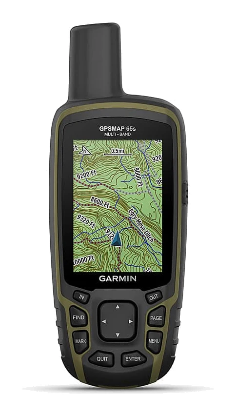
- Garmin GPSMAP 65s Review (2026): Accurate, Not Flashy
- Garmin inReach Mini 2 Review (2026): Light, Rugged SOS
- Garmin eTrex Solar Review (2026): Sun-Fed Simplicity
- Best Inverter Generators for Home Backup 2026: By Wattage
Not sure about the Garmin eTrex SE? Consider these
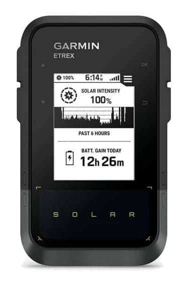
- Best ValueGarmin eTrex SolarWhy we picked it →
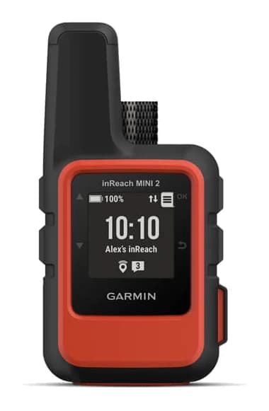
- Premium PickGarmin inReach Mini 2Why we picked it →
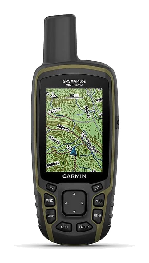
- Also GreatGarmin GPSMAP 65sWhy we picked it →
Frequently asked questions
Is the Garmin eTrex SE worth it?
It is worth considering if you want a rugged, button-operated GPS with long battery life as a primary or backup navigator. Its strengths are battery life, multi-GNSS tracking and a sunlight-readable screen, while its drawbacks are the low-resolution monochrome display and the lack of preloaded topo maps. It averages 7.7/10 across 3 expert reviews.
How long does the Garmin eTrex SE battery last?
Garmin quotes up to 168 hours in standard mode and up to 1,800 hours in expedition mode, on 2 AA batteries. The batteries can be swapped in the field.
Are batteries included with the Garmin eTrex SE?
No. The device uses 2 AA batteries, which are not included, so you will need to supply your own.
Does the Garmin eTrex SE have topographic maps?
Not preloaded. It has a basemap that shows cities only. If you want detailed color topo maps on the device, this is not the right model.
Is the Garmin eTrex SE waterproof?
It has an IPX7 water-resistance rating, which means water-resistant rather than fully waterproof. Its buttons work with gloves or in wet conditions.
Does the eTrex SE need a smartphone?
It offers on-device navigation such as TracBack and point-to-point, but many features depend on a smartphone and the Garmin Explore app. These include software updates, trip planning, weather, smart notifications and Geocaching Live.
Which satellite systems does the Garmin eTrex SE use?
It supports GPS, GLONASS, Galileo, BeiDou and QZSS. Multi-GNSS tracking helps with steadier fixes under tree cover and in canyons.
Sources
Specs are taken from the manufacturers' official pages; expert recommendations from the publications below.
- Garmin eTrex SE: garmin.com, thegpsstore.com, wildernessexperts.com, satellitephonestore.com
Related reviews & guides
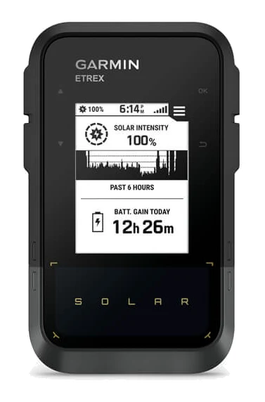
Garmin eTrex Solar Review (2026): Sun-Fed Simplicity
The Garmin eTrex Solar is a rugged, button-operated handheld GPS that can top itself up in sunlight. Here is what its specs and expert reviews say about who it suits.
Published Oct 30, 2026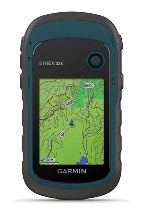
Garmin eTrex 22x Review (2026): Simple, Rugged, Dated?
The Garmin eTrex 22x is a rugged, no-frills handheld GPS with preloaded routable maps and swappable AA batteries. Here is who it suits and where it shows its age.
Published Oct 25, 2026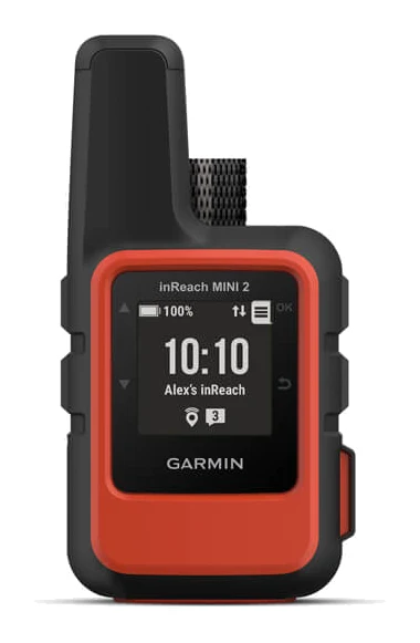
Garmin inReach Mini 2 Review (2026): Light, Rugged SOS
A look at the Garmin inReach Mini 2, a compact satellite communicator with two-way texting and SOS, based on manufacturer specs and what independent experts report.
Published Oct 29, 2026